State Park · Virginia
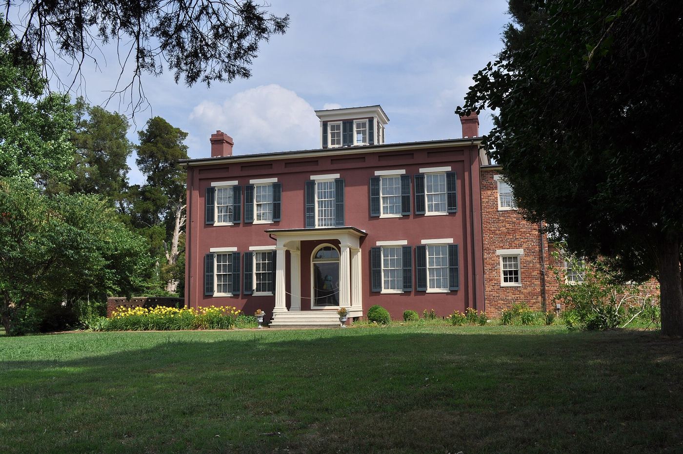
Chippokes Plantation State Park
- Location
- Surry County, Virginia
- Nearest town
- 5.6 miles northwest of Rushmere
- Type
- State Park
About Chippokes Plantation State Park
Forests and a fossil-bearing beach line the south side of the James River here, part of the Captain John Smith Chesapeake National Historic Trail. The grounds hold three historic houses and an open-air agricultural and forestry museum that runs events tied to the seasons. A visitor center, swimming pool, hiking trails, cabins and yurts round out the property, which drew 173,110 visitors in 2020.
Hours, fees, camping, reservations and closures are set by the park and change often. Check the official park site before you go.
Getting there
Chippokes Plantation State Park is in Surry County, Virginia, 5.6 miles northwest of Rushmere. The Directions button takes you to the park's mapped location; the entrance may be elsewhere, so check the official site for the address to use.
State parks near Chippokes Plantation State Park
Within 60 miles, closest first, straight-line. All 42 in Virginia →
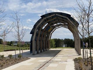 Machicomoco State ParkState Park · Gloucester County, VA16 miNE
- Machicomico State ParkState Park · Gloucester County, VA16 miNE
 York River State ParkState Park · James City County, VA19 miN
 Kiptopeke State ParkState Park · Northampton County, VA41 miE
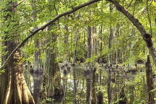 First Landing State ParkState Park · Virginia Beach city, VA42 miE
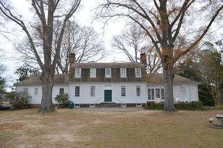 Belle Isle State ParkState Park · Lancaster County, VA45 miN
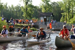 Dismal Swamp State ParkState Park · Camden County, NC46 miS
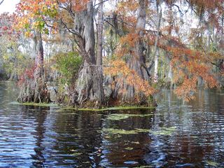 Merchants Millpond State ParkState Park · Gates County, NC48 miS
 Pocahontas State ParkState Park · Chesterfield County, VA49 miW
Towns near Chippokes Plantation State Park
State parks near Williamsburg, State parks near Poquoson, State parks near Suffolk, State parks near Norfolk, State parks near Petersburg, State parks near Virginia Beach
Facts from Wikidata, checked September 25, 2026. Distances are straight-line.