State Park · Virginia
Kiptopeke State Park
- Location
- Northampton County, Virginia
- Nearest town
- 7.2 miles south of Cape Charles
- Type
- State Park
About Kiptopeke State Park
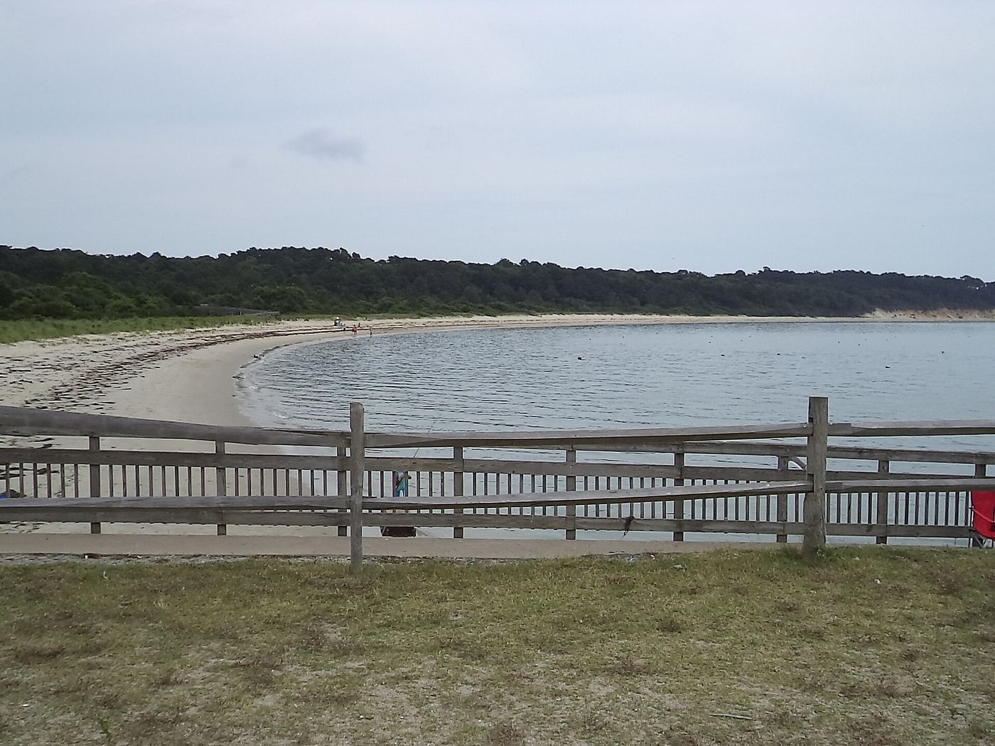
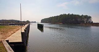
Concrete ships, sunk offshore to shield the old ferry port from storm erosion, rest visibly along the shoreline here. The park sits where the Eastern Shore meets the brackish Chesapeake Bay, with a beach, boat ramps and piers giving direct water access. Its location along the East Coast flyway also makes it a recognized habitat for migratory birds passing through the Delmarva Peninsula.
Hours, fees, camping, reservations and closures are set by the park and change often. Check the official park site before you go.
Getting there
Kiptopeke State Park is in Northampton County, Virginia, 7.2 miles south of Cape Charles. The Directions button takes you to the park's mapped location; the entrance may be elsewhere, so check the official site for the address to use.
State parks near Kiptopeke State Park
Within 60 miles, closest first, straight-line. All 42 in Virginia →
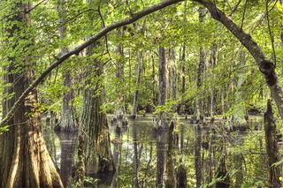 First Landing State ParkState Park · Virginia Beach city, VA18 miS
- Machicomico State ParkState Park · Gloucester County, VA32 miW
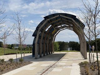 Machicomoco State ParkState Park · Gloucester County, VA32 miW
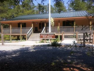 False Cape State ParkState Park · Virginia Beach city, VA41 miS
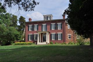 Chippokes Plantation State ParkState Park · Surry County, VA41 miW
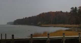 York River State ParkState Park · James City County, VA44 miW
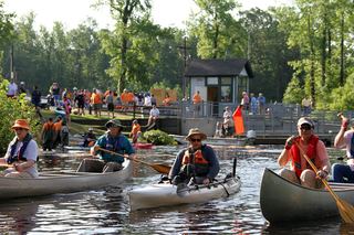 Dismal Swamp State ParkState Park · Camden County, NC51 miSW
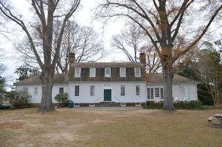 Belle Isle State ParkState Park · Lancaster County, VA54 miNW
 Janes Island State ParkState Park · Somerset County, MD59 miN
Towns near Kiptopeke State Park
State parks near Poquoson, State parks near Virginia Beach, State parks near Norfolk, State parks near Williamsburg, State parks near Suffolk
Facts from Wikidata, checked September 25, 2026. Distances are straight-line.