State Park · Virginia
Pocahontas State Park
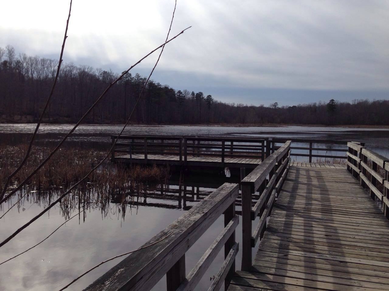
- Location
- Chesterfield County, Virginia
- Nearest town
- 3.6 miles west of Chesterfield
- Type
- State Park
About Pocahontas State Park
Swift Creek runs through land laid out by the Civilian Conservation Corps, forming the core of what is Virginia's largest state park at 7,919 acres. The park lies near the state capital of Richmond, and in 2015 it recorded over 1.1 million visitors, reflecting the scale of use the grounds accommodate.
Hours, fees, camping, reservations and closures are set by the park and change often. Check the official park site before you go.
Getting there
Pocahontas State Park is in Chesterfield County, Virginia, 3.6 miles west of Chesterfield. The Directions button takes you to the park's mapped location; the entrance may be elsewhere, so check the official site for the address to use.
State parks near Pocahontas State Park
Within 60 miles, closest first, straight-line. All 42 in Virginia →
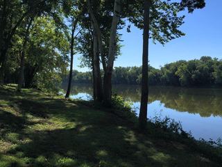 Powhatan State ParkState Park · Powhatan County, VA28 miNW
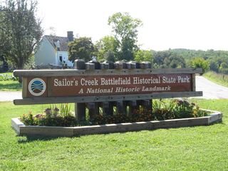 Sailor's Creek Battlefield Historical State ParkState Park · Amelia County, VA36 miW
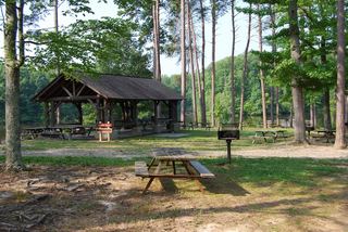 Bear Creek Lake State ParkState Park · Cumberland County, VA40 miW
 Twin Lakes State ParkState Park · Prince Edward County, VA41 miW
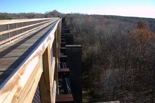 High Bridge Trail State ParkState Park · Prince Edward County, VA41 miW
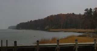 York River State ParkState Park · James City County, VA47 miE
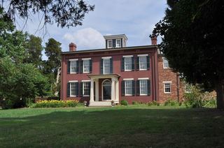 Chippokes Plantation State ParkState Park · Surry County, VA49 miE
 Lake Anna State ParkState Park · Spotsylvania County, VA53 miN
 Machicomoco State ParkState Park · Gloucester County, VA57 miE
Towns near Pocahontas State Park
State parks near Petersburg, State parks near Richmond, State parks near Williamsburg
Facts from Wikidata, checked September 25, 2026. Distances are straight-line.