State Park · Virginia
High Bridge Trail State Park
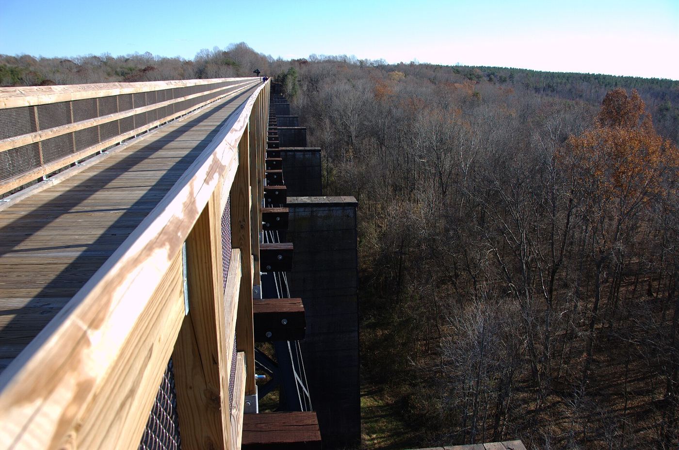
- Location
- Prince Edward County, Virginia
- Nearest town
- 4.1 miles east of Farmville
- Type
- State Park
About High Bridge Trail State Park
A former Norfolk Southern rail line was converted into this trail, giving the park its long, narrow footprint across Southside Virginia. The route follows the old railbed, so the walking and riding surface stretches in a continuous corridor instead of a network of looping paths. Visitors get a linear route shaped entirely by its past as a working freight line.
Hours, fees, camping, reservations and closures are set by the park and change often. Check the official park site before you go.
Getting there
High Bridge Trail State Park is in Prince Edward County, Virginia, 4.1 miles east of Farmville. The Directions button takes you to the park's mapped location; the entrance may be elsewhere, so check the official site for the address to use.
State parks near High Bridge Trail State Park
Within 60 miles, closest first, straight-line. All 42 in Virginia →
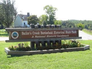 Sailor's Creek Battlefield Historical State ParkState Park · Amelia County, VA5.1 miE
 Twin Lakes State ParkState Park · Prince Edward County, VA9.8 miS
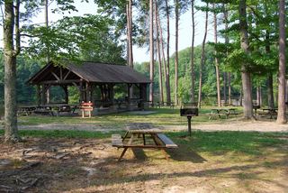 Bear Creek Lake State ParkState Park · Cumberland County, VA15 miN
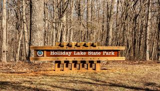 Holliday Lake State ParkState Park · Appomattox County, VA19 miW
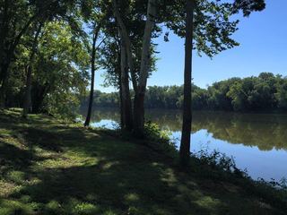 Powhatan State ParkState Park · Powhatan County, VA32 miNE
 James River State ParkState Park · Buckingham County, VA35 miNW
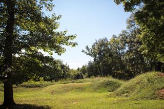 Staunton River Battlefield State ParkState Park · Charlotte County, VA36 miSW
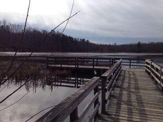 Pocahontas State ParkState Park · Chesterfield County, VA41 miE
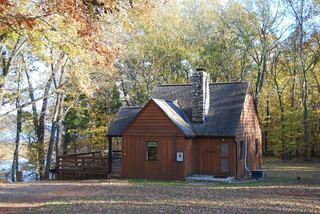 Staunton River State ParkState Park · Halifax County, VA47 miSW
Towns near High Bridge Trail State Park
Facts from Wikidata, checked September 25, 2026. Distances are straight-line.