State Park · Virginia
Sailor's Creek Battlefield Historical State Park
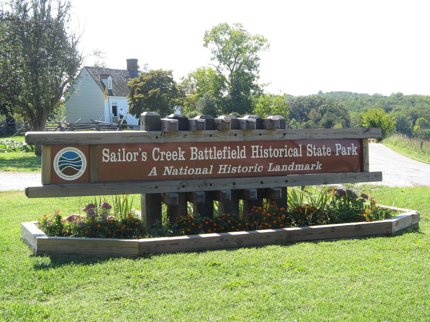
- Location
- Amelia County, Virginia
- Nearest town
- 9.1 miles east of Farmville
- Type
- State Park
About Sailor's Creek Battlefield Historical State Park
Sayler's Creek Battlefield covers 379 acres, part of a larger 1,022-acre landmarked battlefield spanning Amelia and Prince Edward counties. The park preserves the ground where the Battle of Sayler's Creek took place on April 6, 1865, one of the last major clashes involving Confederate General-in-Chief Robert E. Lee during his retreat from Richmond and Petersburg. That fighting came three days before Lee's surrender to Ulysses S. Grant at Appomattox Court House, which effectively ended the Civil War.
Hours, fees, camping, reservations and closures are set by the park and change often. Check the official park site before you go.
Getting there
Sailor's Creek Battlefield Historical State Park is in Amelia County, Virginia, 9.1 miles east of Farmville. The Directions button takes you to the park's mapped location; the entrance may be elsewhere, so check the official site for the address to use.
State parks near Sailor's Creek Battlefield Historical State Park
Within 60 miles, closest first, straight-line. All 42 in Virginia →
 High Bridge Trail State ParkState Park · Prince Edward County, VA5.1 miW
 Twin Lakes State ParkState Park · Prince Edward County, VA9.5 miS
 Bear Creek Lake State ParkState Park · Cumberland County, VA16 miN
 Holliday Lake State ParkState Park · Appomattox County, VA24 miW
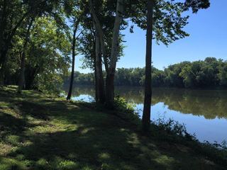 Powhatan State ParkState Park · Powhatan County, VA30 miNE
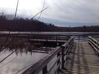 Pocahontas State ParkState Park · Chesterfield County, VA36 miE
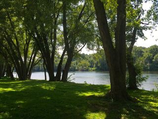 James River State ParkState Park · Buckingham County, VA39 miNW
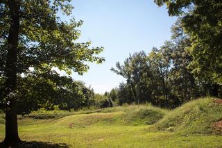 Staunton River Battlefield State ParkState Park · Charlotte County, VA39 miSW
 Staunton River State ParkState Park · Halifax County, VA49 miSW
Towns near Sailor's Creek Battlefield Historical State Park
Facts from Wikidata, checked September 25, 2026. Distances are straight-line.