State Park · Washington
Palouse Falls State Park
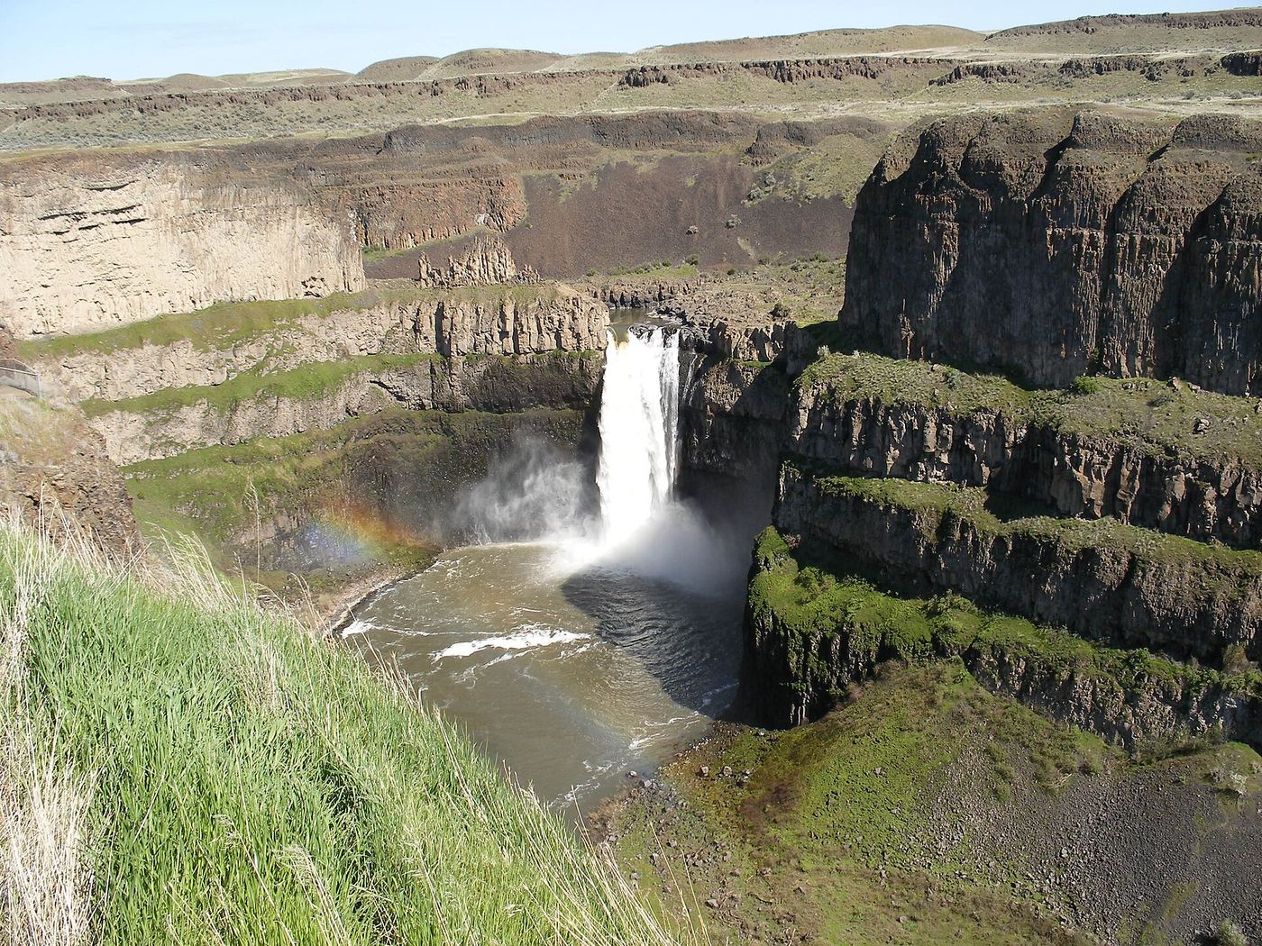
- Location
- Whitman County, Washington
- Nearest town
- 26.6 miles northwest of Dayton
- Type
- State Park
About Palouse Falls State Park
A 200-foot drop on the Palouse River forms the main feature of this 94-acre park, located about four miles upstream of where the river meets the Snake River. The falls consist of two sections, an upper drop of around twenty feet situated roughly 1,000 feet north-northwest of the main plunge, and a lower fall that makes up the larger cascade. The park has protected this stretch of the river and its waterfall since 1951.
Hours, fees, camping, reservations and closures are set by the park and change often. Check the official park site before you go.
Getting there
Palouse Falls State Park is in Whitman County, Washington, 26.6 miles northwest of Dayton. The Directions button takes you to the park's mapped location; the entrance may be elsewhere, so check the official site for the address to use.
State parks near Palouse Falls State Park
Within 60 miles, closest first, straight-line. All 140 in Washington →
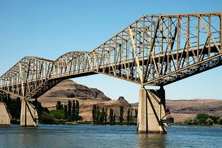 Lyons Ferry State ParkState Park · Whitman County, WA3.0 miS
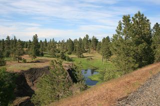 Columbia Plateau State Park TrailState Park · Franklin County, WA16 miW
- Lewis & Clark Trail State ParkState Park · Columbia County, WA27 miS
- Steptoe Butte State ParkState Park · Whitman County, WA50 miNE
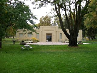 Sacajawea State ParkState Park · Franklin County, WA51 miSW
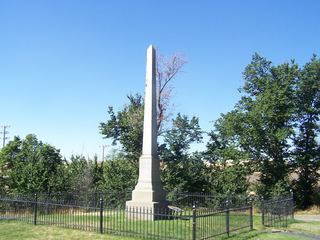 Steptoe Battlefield State Park Heritage SiteState Park · Whitman County, WA56 miNE
 Potholes State ParkState Park · Grant County, WA57 miW
Towns near Palouse Falls State Park
Facts from Wikidata, checked September 25, 2026. Distances are straight-line.