State Park · West Virginia
Beartown State Park
- Location
- Greenbrier County, West Virginia
- Nearest town
- 15.4 miles southwest of Marlinton
- Type
- State Park
About Beartown State Park
110 acres of Pottsville sandstone cap the eastern summit of Droop Mountain, riddled with boulders, overhanging cliffs, and deep, narrow crevasses that local residents once likened to the criss-crossing streets of a small town. The cave-like rock openings reportedly served as winter dens for black bears, giving the park its name. Trails and boardwalks lead visitors past markers explaining the erosion that carved pits into the cliff faces, some large enough to hold two grown men. Snow and ice can linger in the deepest crevasses into the middle of summer.
Hours, fees, camping, reservations and closures are set by the park and change often. Check the official park site before you go.
Getting there
Beartown State Park is in Greenbrier County, West Virginia, 15.4 miles southwest of Marlinton. The Directions button takes you to the park's mapped location; the entrance may be elsewhere, so check the official site for the address to use.
State parks near Beartown State Park
Within 60 miles, closest first, straight-line. All 33 in West Virginia →
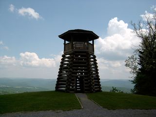 Droop Mountain Battlefield State ParkState Park · Pocahontas County, WV4.1 miN
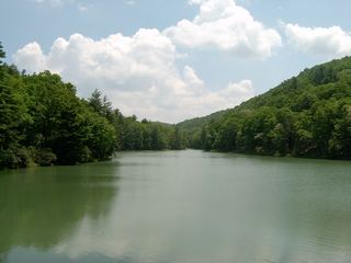 Watoga State ParkState Park · Pocahontas County, WV7.7 miNE
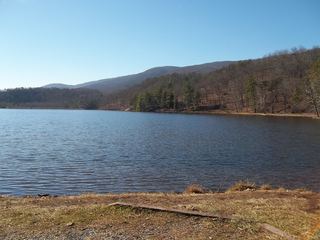 Douthat State ParkState Park · Bath County, VA27 miSE
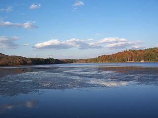 Moncove Lake State ParkState Park · Monroe County, WV30 miS
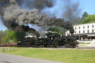 Cass Scenic Railroad State ParkState Park · Pocahontas County, WV31 miNE
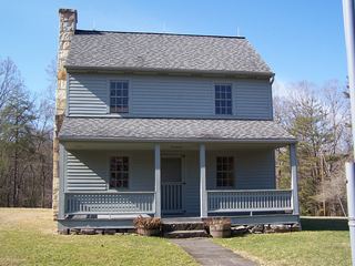 Carnifex Ferry Battlefield State ParkState Park · Nicholas County, WV38 miW
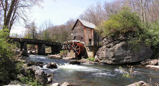 Babcock State ParkState Park · Fayette County, WV38 miW
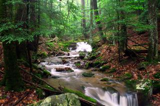 Holly River State ParkState Park · Webster County, WV43 miN
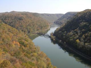 Hawks Nest State ParkState Park · Fayette County, WV47 miW
Facts from Wikidata, checked September 25, 2026. Distances are straight-line.