State Park · West Virginia
Watoga State Park
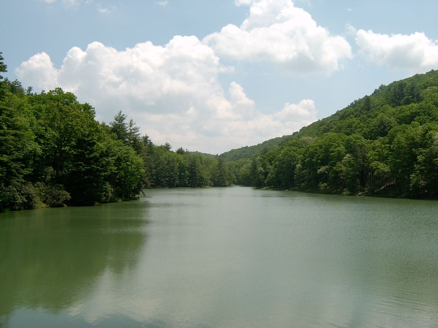
- Location
- Pocahontas County, West Virginia
- Nearest town
- 8.8 miles south of Marlinton
- Type
- State Park
About Watoga State Park
Civilian Conservation Corps labor in the 1930s shaped this land into West Virginia's largest state park, spanning slightly over 10,100 acres. It borders the Greenbrier River Trail directly, sits near Beartown State Park and Droop Mountain Battlefield State Park, and adjoins the 9,482-acre Calvin Price State Forest. Its skies rank among the darkest of any state park in West Virginia.
Hours, fees, camping, reservations and closures are set by the park and change often. Check the official park site before you go.
Getting there
Watoga State Park is in Pocahontas County, West Virginia, 8.8 miles south of Marlinton. The Directions button takes you to the park's mapped location; the entrance may be elsewhere, so check the official site for the address to use.
State parks near Watoga State Park
Within 60 miles, closest first, straight-line. All 33 in West Virginia →
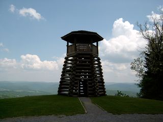 Droop Mountain Battlefield State ParkState Park · Pocahontas County, WV6.6 miW
- Beartown State ParkState Park · Greenbrier County, WV7.7 miSW
 Douthat State ParkState Park · Bath County, VA23 miSE
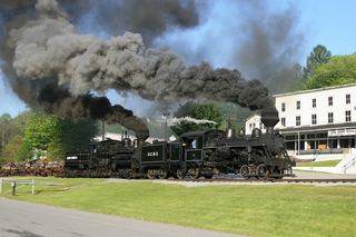 Cass Scenic Railroad State ParkState Park · Pocahontas County, WV24 miNE
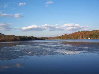 Moncove Lake State ParkState Park · Monroe County, WV35 miS
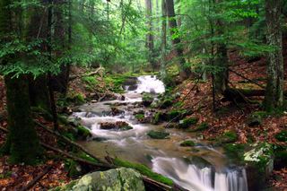 Holly River State ParkState Park · Webster County, WV40 miN
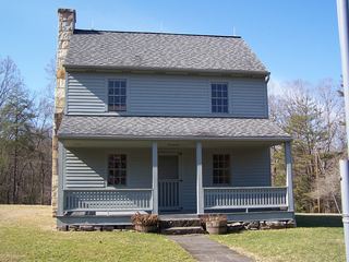 Carnifex Ferry Battlefield State ParkState Park · Nicholas County, WV43 miW
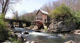 Babcock State ParkState Park · Fayette County, WV45 miW
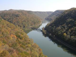 Hawks Nest State ParkState Park · Fayette County, WV53 miW
Facts from Wikidata, checked September 25, 2026. Distances are straight-line.