State Recreation Area · Wisconsin
Capital Springs State Recreation Area
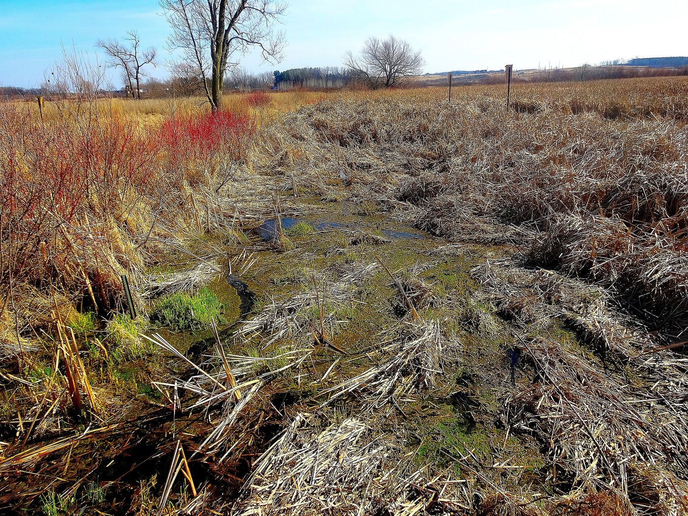
- Location
- Dane County, Wisconsin
- Nearest town
- 2.3 miles south of Monona
- Type
- State Recreation Area
About Capital Springs State Recreation Area
Authorized in 2000 to mark the centennial of the Wisconsin state park system, this recreation area combines existing county parks under joint management by the state and local government. It spans 3,000 acres in total, though only 326 acres carry the state park designation itself. Included within its boundaries are 3,700 feet of undeveloped shoreline along Lake Waubesa. Development of the site is ongoing.
Hours, fees, camping, reservations and closures are set by the park and change often. Check the official park site before you go.
Getting there
Capital Springs State Recreation Area is in Dane County, Wisconsin, 2.3 miles south of Monona. The Directions button takes you to the park's mapped location; the entrance may be elsewhere, so check the official site for the address to use.
State parks near Capital Springs State Recreation Area
Within 60 miles, closest first, straight-line. All 48 in Wisconsin →
 Lake Kegonsa State ParkState Park · Dane County, WI6.5 miSE
 Governor Nelson State ParkState Park · Dane County, WI8.8 miNW
 New Glarus Woods State ParkState Park · Green County, WI22 miSW
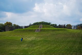 Aztalan State ParkState Park · Jefferson County, WI24 miE
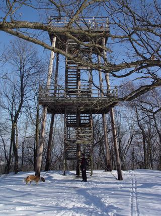 Blue Mound State ParkState Park · Iowa County, WI26 miW
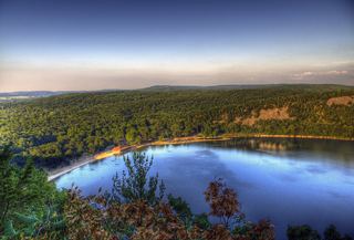 Devil's Lake State ParkState Park · Sauk County, WI33 miNW
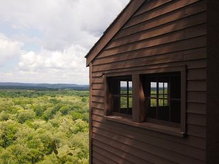 Tower Hill State ParkState Park · Iowa County, WI37 miW
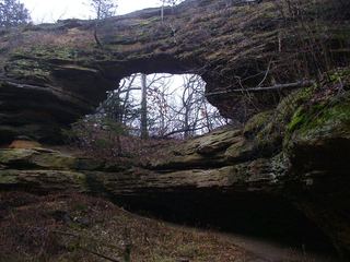 Natural Bridge State ParkState Park · Sauk County, WI37 miNW
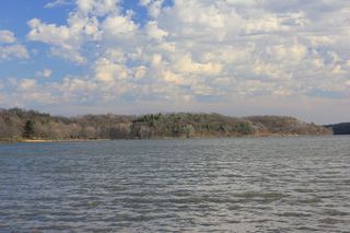 Yellowstone Lake State ParkState Park · Lafayette County, WI37 miSW
Towns near Capital Springs State Recreation Area
State parks near Madison, State parks near Janesville, State parks near Watertown, State parks near Monroe, State parks near Whitewater, State parks near Baraboo
Facts from Wikidata, checked September 25, 2026. Distances are straight-line.