State Park · Arkansas
Lake Poinsett State Park
- Location
- Poinsett County, Arkansas
- Nearest town
- 2.8 miles southeast of Harrisburg
- Type
- State Park
About Lake Poinsett State Park
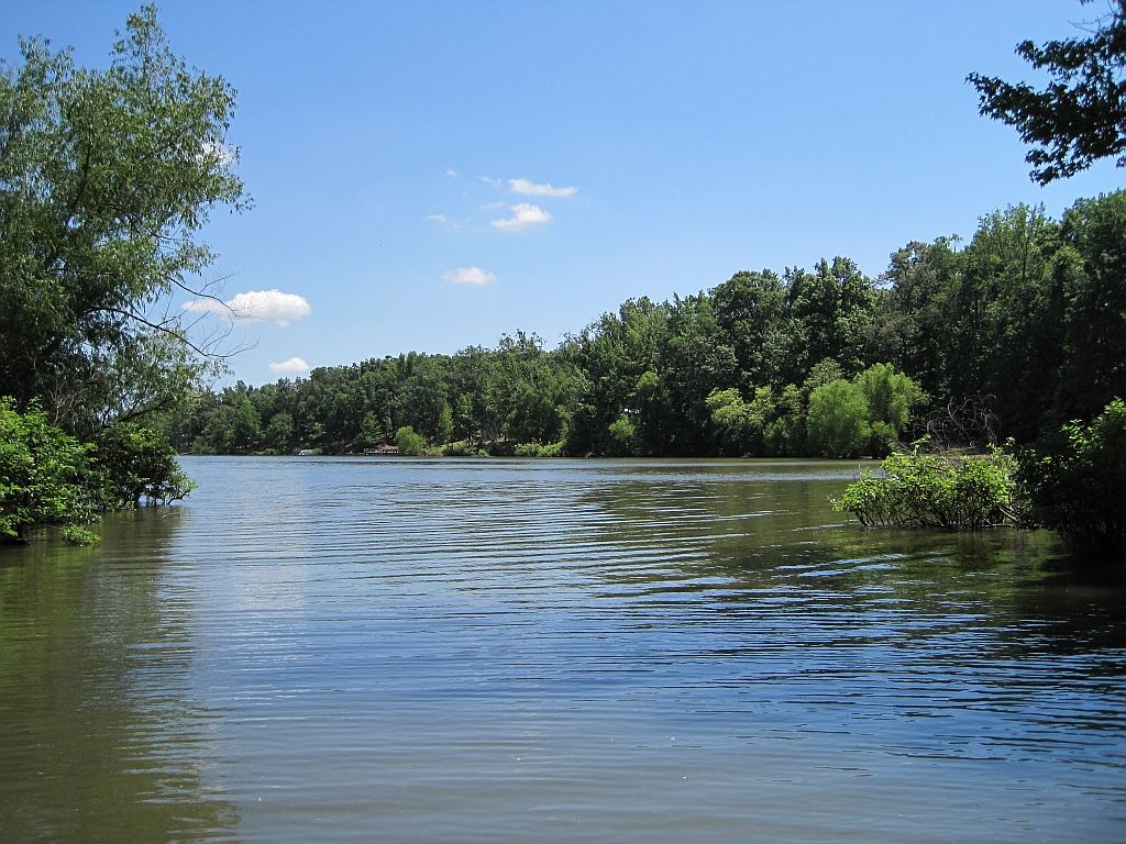
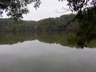
The 640-acre lake here was formed in 1960 when Distress Creek was dammed for recreation, and the park now sits along its western shore on Crowley's Ridge. At 132 acres, the park offers camping, fishing, picnicking and boat rentals, giving visitors direct access to the water for outings centered on the lake itself rather than on trails or historic sites.
Hours, fees, camping, reservations and closures are set by the park and change often. Check the official park site before you go.
Getting there
Lake Poinsett State Park is in Poinsett County, Arkansas, 2.8 miles southeast of Harrisburg. The Directions button takes you to the park's mapped location; the entrance may be elsewhere, so check the official site for the address to use.
State parks near Lake Poinsett State Park
Within 60 miles, closest first, straight-line. All 41 in Arkansas →
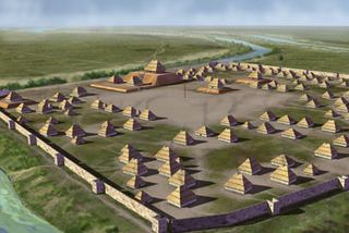 Parkin Archeological State ParkState Park · Cross County, AR19 miSE
 Village Creek State ParkState Park · Cross County, AR26 miS
 Lake Frierson State ParkState Park · Greene County, AR30 miN
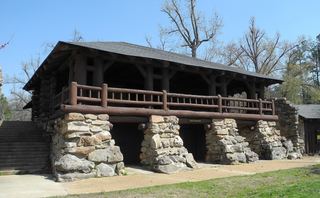 Crowley's Ridge State ParkState Park · Greene County, AR35 miN
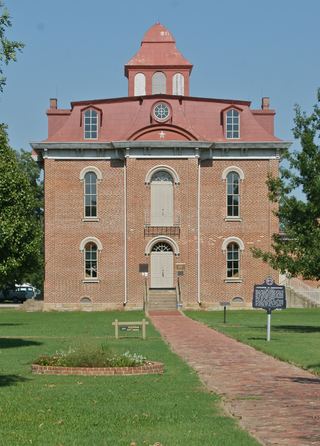 Jacksonport State ParkState Park · Jackson County, AR36 miW
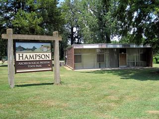 Hampson Archeological Museum State ParkState Park · Mississippi County, AR36 miE
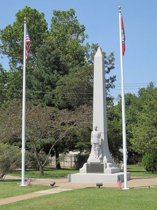 Herman Davis State ParkState Park · Mississippi County, AR38 miNE
 Meeman-Shelby Forest State ParkState Park · Shelby County, TN38 miE
- Lake Charles State ParkState Park · Lawrence County, AR45 miNW
Towns near Lake Poinsett State Park
State parks near Jonesboro, State parks near Forrest City, State parks near Paragould, State parks near New South Memphis
Facts from Wikidata, checked September 25, 2026. Distances are straight-line.