State Park · California
Butano State Park
- Location
- San Mateo County, California
- Nearest town
- 12 miles northwest of Boulder Creek
- Type
- State Park
About Butano State Park
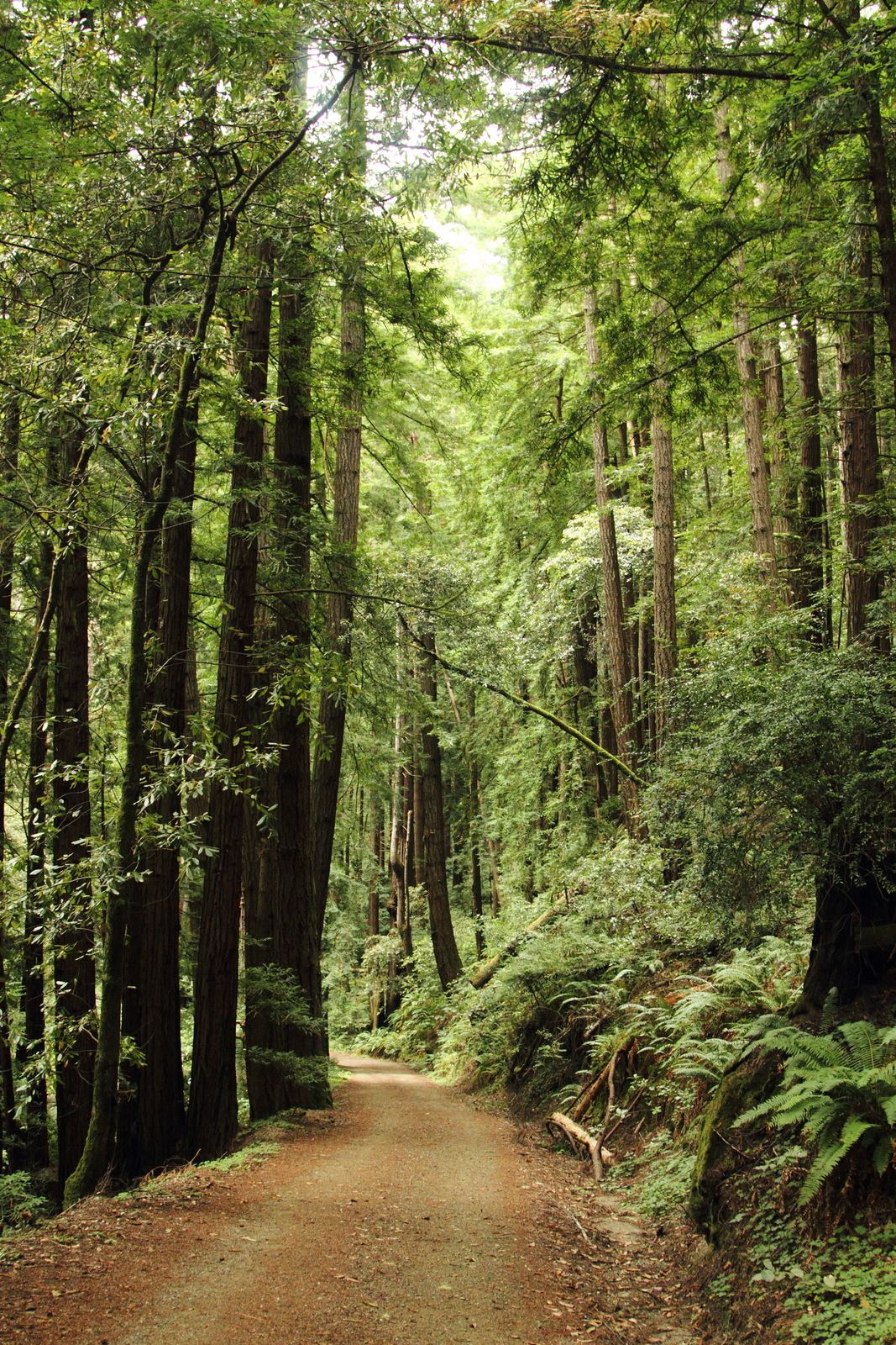
Little Butano Creek runs through a redwood-filled canyon that forms the core of this 4,728-acre park. The creek is a tributary of Butano Creek within the Pescadero Creek watershed. The land protects this secluded canyon setting rather than open coastline or grassland.
Hours, fees, camping, reservations and closures are set by the park and change often. Check the official park site before you go.
Getting there
Butano State Park is in San Mateo County, California, 12 miles northwest of Boulder Creek. The Directions button takes you to the park's mapped location; the entrance may be elsewhere, so check the official site for the address to use.
State parks near Butano State Park
Within 60 miles, closest first, straight-line. All 213 in California →
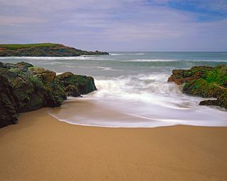 Bean Hollow State BeachState Beach · San Mateo County, CA5.5 miW
- Big Basin Redwoods State ParkState Park · Santa Cruz County, CA5.6 miSE
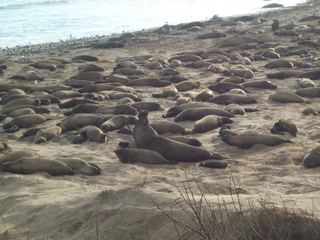 Año Nuevo State ParkState Park · San Mateo County, CA5.7 miS
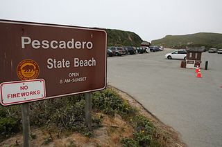 Pescadero State BeachState Beach · San Mateo County, CA6.6 miNW
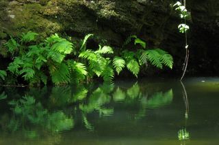 Portola Redwoods State ParkState Park · San Mateo County, CA6.8 miNE
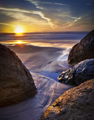 Pomponio State BeachState Beach · San Mateo County, CA7.6 miNW
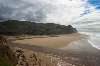 San Gregorio State BeachState Beach · San Mateo County, CA9.1 miNW
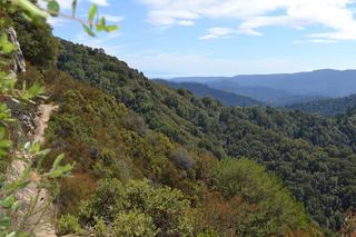 Castle Rock State ParkState Park · Santa Cruz County, CA12 miE
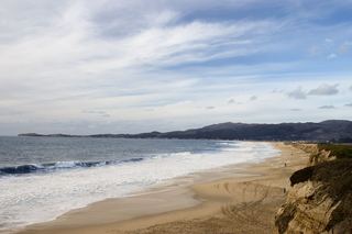 Half Moon Bay State BeachState Beach · San Mateo County, CA20 miNW
Towns near Butano State Park
State parks near Santa Cruz, State parks near San Mateo, State parks near San Jose, State parks near Fremont, State parks near Morgan Hill, State parks near Watsonville
Facts from Wikidata, checked September 25, 2026. Distances are straight-line.