State Park · California
Castle Rock State Park
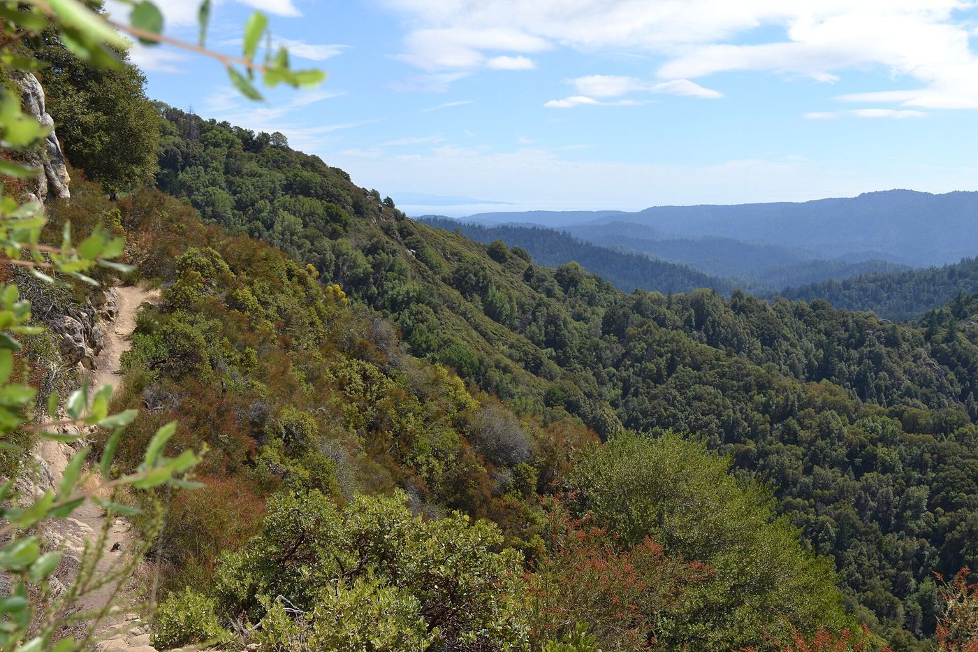
- Location
- Santa Cruz County, California
- Nearest town
- 4.6 miles southwest of Saratoga
- Type
- State Park
About Castle Rock State Park
5,242 acres span the crest of the Santa Cruz Mountains, covering redwood, Douglas fir, and madrone forest left largely untouched. Steep canyons hold sandstone formations, including the Castle Rock formation that gives the park its name, drawing rock climbers to the area. Thirty-two miles of trails wind through the mossy forest, connecting to a wider network that includes the Skyline-to-the-Sea Trail toward Waddell Beach, with two walk-in campgrounds available for backpackers.
Hours, fees, camping, reservations and closures are set by the park and change often. Check the official park site before you go.
Getting there
Castle Rock State Park is in Santa Cruz County, California, 4.6 miles southwest of Saratoga. The Directions button takes you to the park's mapped location; the entrance may be elsewhere, so check the official site for the address to use.
State parks near Castle Rock State Park
Within 60 miles, closest first, straight-line. All 213 in California →
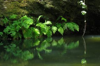 Portola Redwoods State ParkState Park · San Mateo County, CA6.1 miW
- Big Basin Redwoods State ParkState Park · Santa Cruz County, CA8.1 miSW
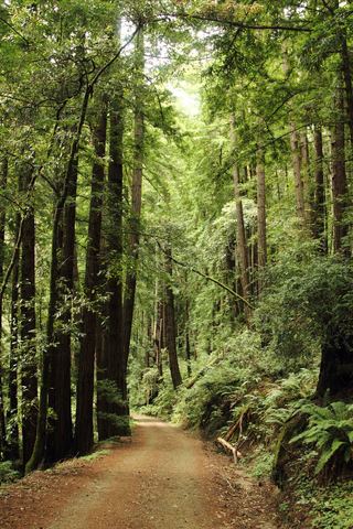 Butano State ParkState Park · San Mateo County, CA12 miW
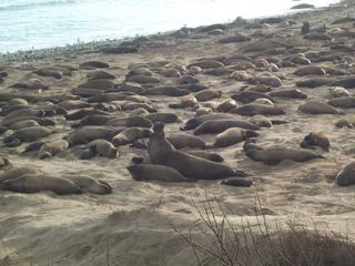 Año Nuevo State ParkState Park · San Mateo County, CA15 miSW
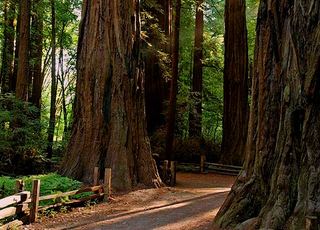 Henry Cowell Redwoods State ParkState Park · Santa Cruz County, CA15 miS
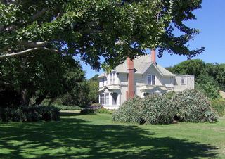 Wilder Ranch State ParkState Park · Santa Cruz County, CA17 miS
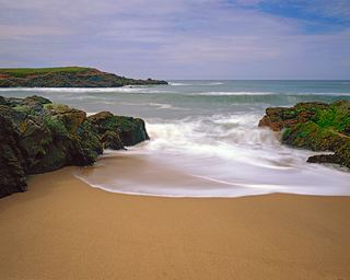 Bean Hollow State BeachState Beach · San Mateo County, CA17 miW
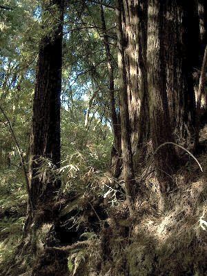 The Forest of Nisene Marks State ParkState Park · Santa Cruz County, CA17 miSE
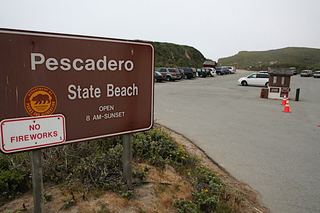 Pescadero State BeachState Beach · San Mateo County, CA18 miW
Towns near Castle Rock State Park
State parks near San Jose, State parks near Santa Cruz, State parks near Fremont, State parks near Morgan Hill, State parks near San Mateo, State parks near Watsonville
Facts from Wikidata, checked September 25, 2026. Distances are straight-line.