State Park · Colorado
State Forest State Park
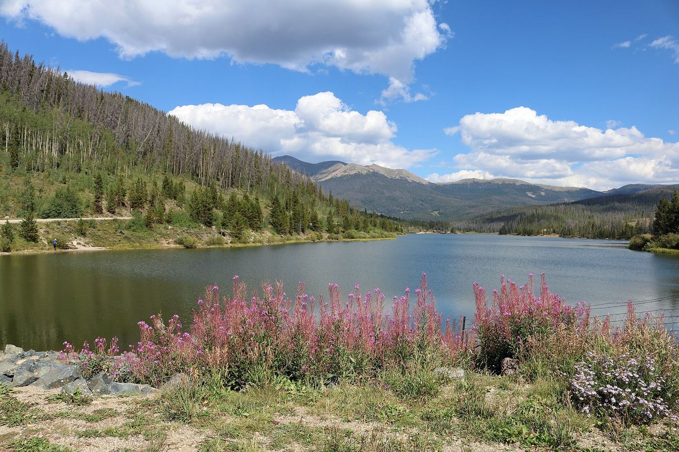
- Location
- Jackson County, Colorado
- Nearest town
- 20.9 miles southeast of Walden
- Type
- State Park
About State Forest State Park
Spanning 70,838 acres in the Medicine Bow Range of the Rocky Mountains, this land was set aside in 1970 to become one of Colorado's largest state parks. It straddles Jackson and Larimer counties and offers 94 miles of hiking trails along with boat ramps for access to its waters. Overnight options include 187 campsites, more than 60 dispersed camping spots, and 15 cabins and yurts.
Hours, fees, camping, reservations and closures are set by the park and change often. Check the official park site before you go.
Getting there
State Forest State Park is in Jackson County, Colorado, 20.9 miles southeast of Walden. The Directions button takes you to the park's mapped location; the entrance may be elsewhere, so check the official site for the address to use.
State parks near State Forest State Park
Within 60 miles, closest first, straight-line. All 45 in Colorado →
 Lory State ParkState Park · Larimer County, CO44 miE
 Stagecoach State ParkState Park · Routt County, CO47 miW
 Pearl Lake State ParkState Park · Routt County, CO50 miNW
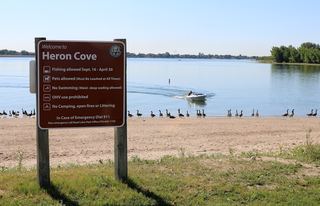 Boyd Lake State ParkState Park · Larimer County, CO51 miE
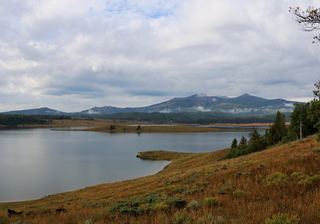 Steamboat Lake State ParkState Park · Routt County, CO53 miNW
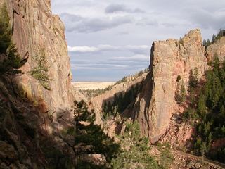 Eldorado Canyon State ParkState Park · Boulder County, CO55 miSE
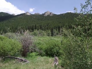 Golden Gate Canyon State ParkState Park · Gilpin County, CO57 miSE
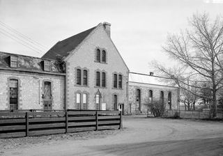 Wyoming Territorial Prison State Historic SiteState Historic Site · Albany County, WY59 miN
Towns near State Forest State Park
State parks near Steamboat Springs, State parks near Fort Collins
Facts from Wikidata, checked September 25, 2026. Distances are straight-line.