State Park · Georgia
Black Rock Mountain State Park
- Location
- Rabun County, Georgia
- Nearest town
- 1.5 miles southwest of Mountain City
- Type
- State Park
About Black Rock Mountain State Park
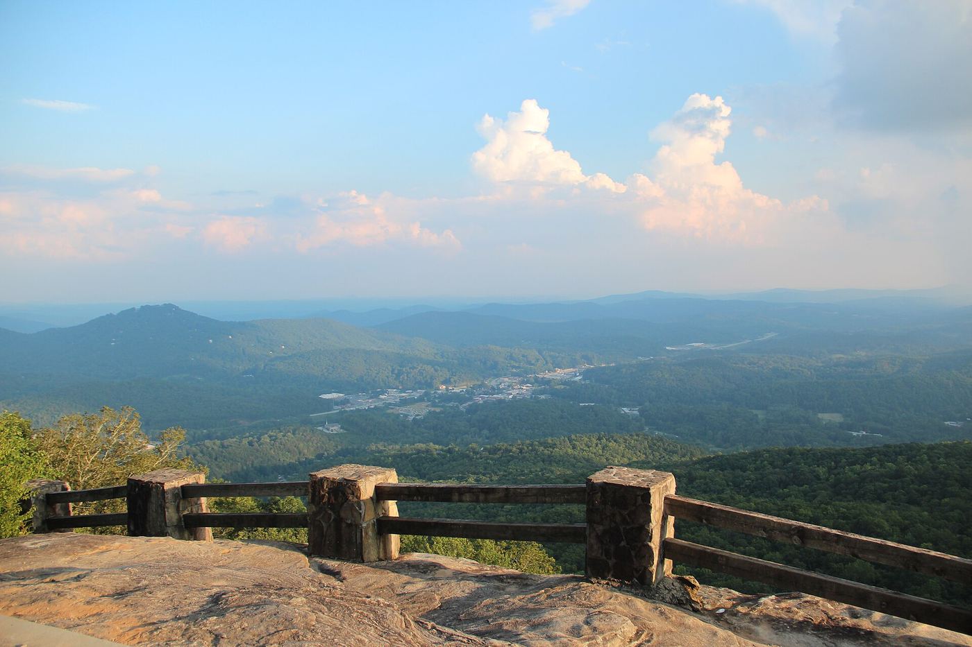
Sheer cliffs of dark-colored biotite gneiss give the park its name, rising along the Eastern Continental Divide at 3,640 feet. Spanning 1,743 acres across five peaks over 3,000 feet, including Black Rock Mountain itself, this is Georgia's highest state park. Overlooks along the ridge offer views stretching 80 miles, and on a clear day the vista takes in four states: Georgia, North Carolina, South Carolina, and Tennessee.
Hours, fees, camping, reservations and closures are set by the park and change often. Check the official park site before you go.
Getting there
Black Rock Mountain State Park is in Rabun County, Georgia, 1.5 miles southwest of Mountain City. The Directions button takes you to the park's mapped location; the entrance may be elsewhere, so check the official site for the address to use.
State parks near Black Rock Mountain State Park
Within 60 miles, closest first, straight-line. All 48 in Georgia →
- Moccasin Creek State ParkState Park · Rabun County, GA11 miSW
 Tallulah Gorge State ParkState Park · Rabun County, GA12 miS
 Oconee State ParkState Park · Oconee County, SC17 miE
 Oconee Station State Historic SiteState Historic Site · Oconee County, SC20 miE
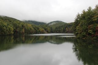 Unicoi State ParkState Park · White County, GA22 miSW
- Hardman Farm State Historic SiteState Historic Site · White County, GA23 miSW
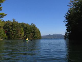 Devils Fork State ParkState Park · Oconee County, SC26 miE
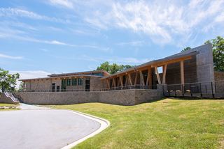 Gorges State ParkState Park · Transylvania County, NC30 miE
- Keowee-Toxaway State Natural AreaState Natural Area · Pickens County, SC30 miE
Towns near Black Rock Mountain State Park
Facts from Wikidata, checked September 25, 2026. Distances are straight-line.