State Park · South Carolina
Devils Fork State Park
- Location
- Oconee County, South Carolina
- Nearest town
- 14.4 miles west of Pickens
- Type
- State Park
About Devils Fork State Park
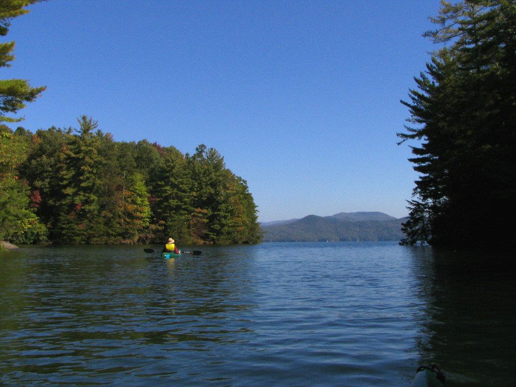
Lake Jocassee stretches across 7,500 acres along the edge of the park, bordering the Sumter National Forest to the east. The park sits three miles off SC 11, the Cherokee Scenic Highway, near Salem. This stretch of water gives visitors access to one of the larger lakes in the region, set against the forested land that surrounds it.
Hours, fees, camping, reservations and closures are set by the park and change often. Check the official park site before you go.
Getting there
Devils Fork State Park is in Oconee County, South Carolina, 14.4 miles west of Pickens. The Directions button takes you to the park's mapped location; the entrance may be elsewhere, so check the official site for the address to use.
State parks near Devils Fork State Park
Within 60 miles, closest first, straight-line. All 43 in South Carolina →
- Keowee-Toxaway State Natural AreaState Natural Area · Pickens County, SC4.0 miSE
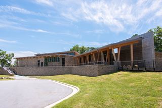 Gorges State ParkState Park · Transylvania County, NC8.2 miN
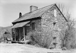 Oconee Station State Historic SiteState Historic Site · Oconee County, SC10 miSW
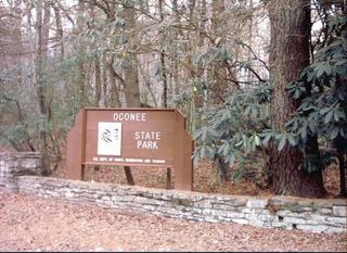 Oconee State ParkState Park · Oconee County, SC11 miSW
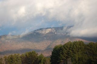 Table Rock State ParkState Park · Pickens County, SC15 miNE
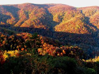 Caesars Head State ParkState Park · Greenville County, SC23 miNE
- Jones Gap State ParkState Park · Greenville County, SC24 miNE
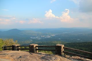 Black Rock Mountain State ParkState Park · Rabun County, GA26 miW
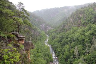 Tallulah Gorge State ParkState Park · Rabun County, GA29 miSW
Towns near Devils Fork State Park
State parks near Clemson, State parks near Greenville, State parks near Anderson, State parks near Hendersonville, State parks near Asheville
Facts from Wikidata, checked September 25, 2026. Distances are straight-line.