State Park · Minnesota
Upper Sioux Agency State Park
- Location
- Yellow Medicine County, Minnesota
- Nearest town
- 6.8 miles southeast of Granite Falls
- Type
- State Park
About Upper Sioux Agency State Park
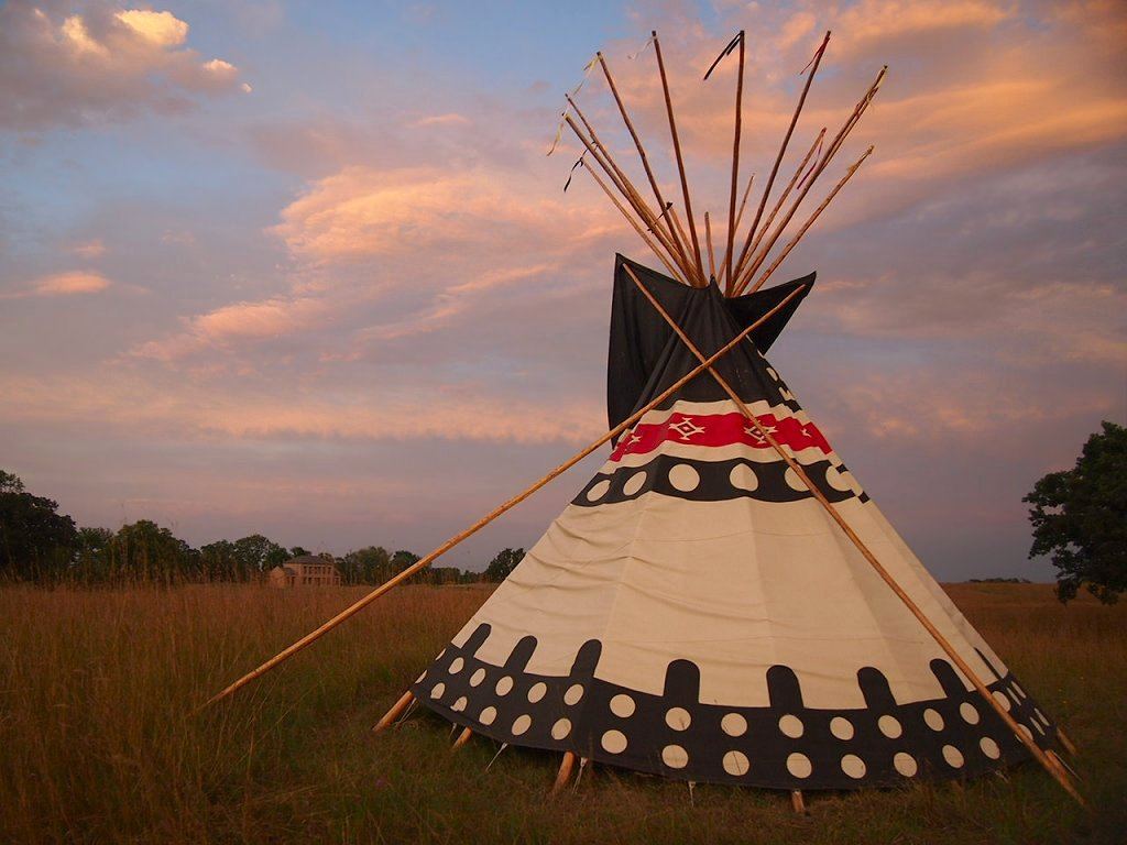
A federal administrative post built here for the Dakota under mid-1800s treaties once held employee housing, warehouses, and a manual labor school before the whole complex was burned during the 1862 Dakota War. The grave of Wahpetonwan Dakota leader Chief Walking Iron Mazomani, killed at the Battle of Wood Lake, remains on the grounds. The site sits along the Minnesota River and was added to the National Register of Historic Places in 1970 for its archaeological, architectural, educational, and social history significance.
Hours, fees, camping, reservations and closures are set by the park and change often. Check the official park site before you go.
Getting there
Upper Sioux Agency State Park is in Yellow Medicine County, Minnesota, 6.8 miles southeast of Granite Falls. The Directions button takes you to the park's mapped location; the entrance may be elsewhere, so check the official site for the address to use.
State parks near Upper Sioux Agency State Park
Within 60 miles, closest first, straight-line. All 73 in Minnesota →
 Lac qui Parle State ParkState Park · Lac qui Parle County, MN29 miNW
 Camden State ParkState Park · Lyon County, MN34 miSW
 Fort Ridgely State ParkState Park · Nicollet County, MN41 miSE
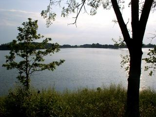 Monson Lake State ParkState Park · Swift County, MN41 miN
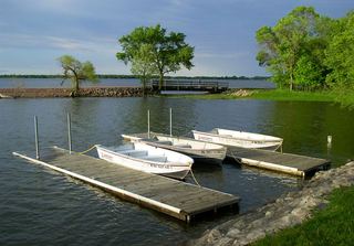 Lake Shetek State ParkState Park · Murray County, MN45 miS
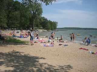 Sibley State ParkState Park · Kandiyohi County, MN46 miNE
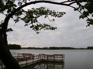 Greenleaf Lake State Recreation AreaState Recreation Area · Meeker County, MN52 miE
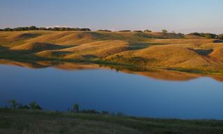 Glacial Lakes State ParkState Park · Pope County, MN56 miN
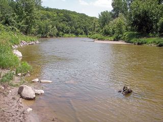 Flandrau State ParkState Park · Brown County, MN57 miSE
Towns near Upper Sioux Agency State Park
Facts from Wikidata, checked September 25, 2026. Distances are straight-line.