State Park · Missouri
Meramec State Park
- Location
- Franklin County, Missouri
- Nearest town
- 3.1 miles east of Sullivan
- Type
- State Park
About Meramec State Park
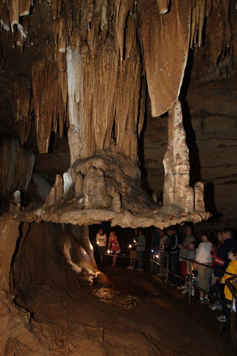
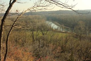
Land along the Meramec River was set aside for public use with over 40 caves cut into its dolomite bedrock, a feature that shaped the park's identity from the start. Fisher Cave, near the campgrounds, is the best known of these formations. The park's hardwood forests and glades border the Meramec Conservation Area, extending the protected land beyond the park's own boundary.
Hours, fees, camping, reservations and closures are set by the park and change often. Check the official park site before you go.
Getting there
Meramec State Park is in Franklin County, Missouri, 3.1 miles east of Sullivan. The Directions button takes you to the park's mapped location; the entrance may be elsewhere, so check the official site for the address to use.
State parks near Meramec State Park
Within 60 miles, closest first, straight-line. All 73 in Missouri →
 Onondaga Cave State ParkState Park · Crawford County, MO12 miSW
 Robertsville State ParkState Park · Franklin County, MO22 miNE
 Washington State ParkState Park · Washington County, MO24 miE
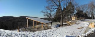 Don Robinson State ParkState Park · Jefferson County, MO25 miNE
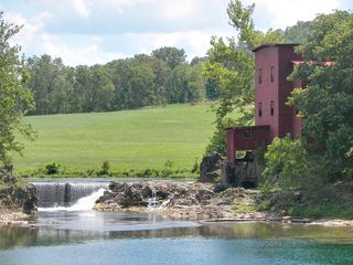 Dillard Mill State Historic SiteState Historic Site · Crawford County, MO34 miS
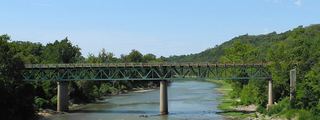 Route 66 State ParkState Park · St. Louis County, MO35 miNE
- St. Francois State ParkState Park · St. Francois County, MO36 miSE
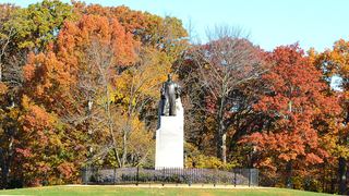 Babler State ParkState Park · St. Louis County, MO36 miNE
 Castlewood State ParkState Park · St. Louis County, MO39 miNE
Towns near Meramec State Park
State parks near Washington, State parks near Wildwood, State parks near Rolla, State parks near Arnold, State parks near O'Fallon, State parks near Farmington
Facts from Wikidata, checked September 25, 2026. Distances are straight-line.