State Park · South Carolina
Jones Gap State Park
- Location
- Greenville County, South Carolina
- Nearest town
- 7.8 miles northwest of Slater-Marietta
- Type
- State Park
About Jones Gap State Park
The Middle Saluda River begins here, its headwaters running through the park's 3,964 acres. The land forms part of the Mountain Bridge Wilderness, jointly managed with Caesars Head State Park by South Carolina's Department of Parks, Recreation, and Tourism. It protects the river's upper watershed within this shared mountain wilderness area.
Hours, fees, camping, reservations and closures are set by the park and change often. Check the official park site before you go.
Getting there
Jones Gap State Park is in Greenville County, South Carolina, 7.8 miles northwest of Slater-Marietta. The Directions button takes you to the park's mapped location; the entrance may be elsewhere, so check the official site for the address to use.
State parks near Jones Gap State Park
Within 60 miles, closest first, straight-line. All 43 in South Carolina →
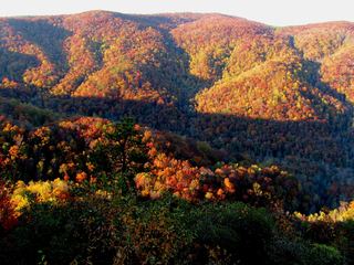 Caesars Head State ParkState Park · Greenville County, SC1.5 miSW
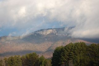 Table Rock State ParkState Park · Pickens County, SC9.7 miSW
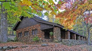 Paris Mountain State ParkState Park · Greenville County, SC18 miSE
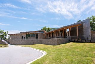 Gorges State ParkState Park · Transylvania County, NC20 miW
- Keowee-Toxaway State Natural AreaState Natural Area · Pickens County, SC22 miSW
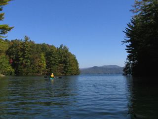 Devils Fork State ParkState Park · Oconee County, SC24 miSW
- Pisgah View State ParkState Park · Buncombe County, NC26 miNW
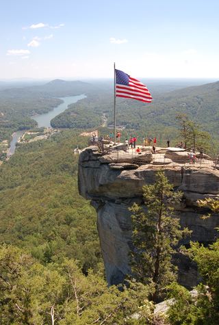 Chimney Rock State ParkState Park · Rutherford County, NC28 miNE
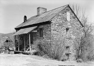 Oconee Station State Historic SiteState Historic Site · Oconee County, SC34 miSW
Towns near Jones Gap State Park
State parks near Hendersonville, State parks near Greenville, State parks near Asheville, State parks near Clemson, State parks near Spartanburg, State parks near Anderson
Facts from Wikidata, checked September 25, 2026. Distances are straight-line.